June 1st was a full zero/rest day in Agua Dulce, CA .Most hikers stay 1-3 days here at "Hiker Heaven" (PCT hostel) to regroup and resupply. Here is Julian and Crush - two fellow hikers that I've camped with for the last few trail nights. We decided to ride into town for a big breakfast at the Sweet water Cafe. Crush with the ball cap, hiked the AT last year. So far I have met 3 hikers who have also completed the AT. Julian is a retired Air Traffic controller from Seattle and is one on the "more mature" folks on the trail. Originally from Puerto Rico but has worked in Alaska, so I have been enjoying his company.
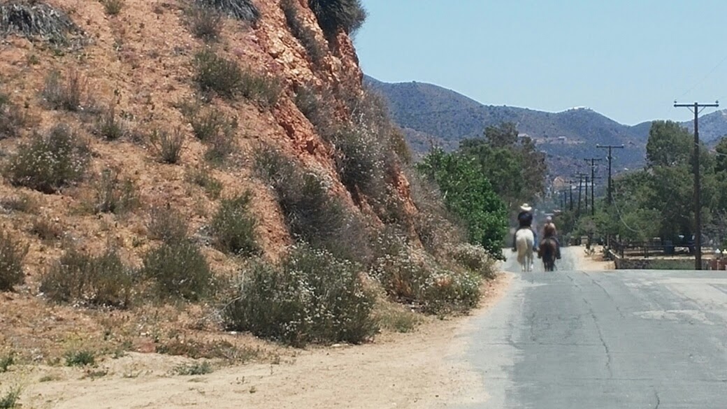
This is how most of the Southern California residents of Aqua Dulce ride into town!
It may be hard see...it was for me. Look carefully to see a coiled 3.5 foot rattlesnake retreating into the shade. The snake sighting count is now 10 - --- of which 4 were "a rattling"!
...and now for the rest of the retreating snake - which can easily be seen!
 I took precautions as
instructed.... however did not see any evidence of bear or "cat"
activity. A USF ranger told me that the fires have send them down into
the 'burbs!
 Campground where I stayed on 5/27.
This technique of suspending food (and toothpaste!) is called "Bear Bagging". The goal is to keep your food at least 15 above the ground and 5 feet away from the nearest branch. In the Sierras apparently "the bears" are too smart for this technique..so I will have to carry all my food in a bear canister, ( Sorry..it seems I just "dissed" the Angeles National Forest and San Gabriel Mountain Wilderness bears!)

Not all campsites are as
scenic...this was behind the Mill Creek Fire Station -which had water
and was safe. And also with a lighted back storage area - which is
helpful when getting off trail late!
High desert country
...the trail beauty continues...
The undergrowth from the fire of 2008. I sat here for a 2 hour heat/lunch break and just watch the birds among the wildflowers.
Shade and a view were rare in this section...so I only stopped for a water sip -or a map check in the shade.
I have learned that 94% of forest fires are human caused in this area.
Looking back at the desert mountains I have crossed on the trail in the distance.
This was on the monument noting where and when the PCT was completed.
It is about 9 trail miles from Agua Dulce
These next rock formation
pictures are from the Vasquez Rocks County Natural Area Park that the
PCT goes through for about 1.5 miles. The view of these conglomerate
rocks have eroded into the "hogback" ridge that can be seen for miles.
Many well-known TV shows and movies were filmed here such as Star Trek,
Roswell, Holes, The Charge of the Light Brigade, etc. One of the locals
told me they use to make the "spaghetti Westerns" there too. I knew
exactly what he was talking about ...because I remember thinking that
the background scenery in the horse chase scenes kept repeating itself!
Hogback Ridge in the Vasquez Rocks


Excellent updates Jean. It really places me in your view. So glad u met up w Eleven. I knew u 2 would hit it off. Looking forward to findingvery flat, shady section of
ReplyDelete