Sunday, July 27, 2014

About to be caught in a storm

 
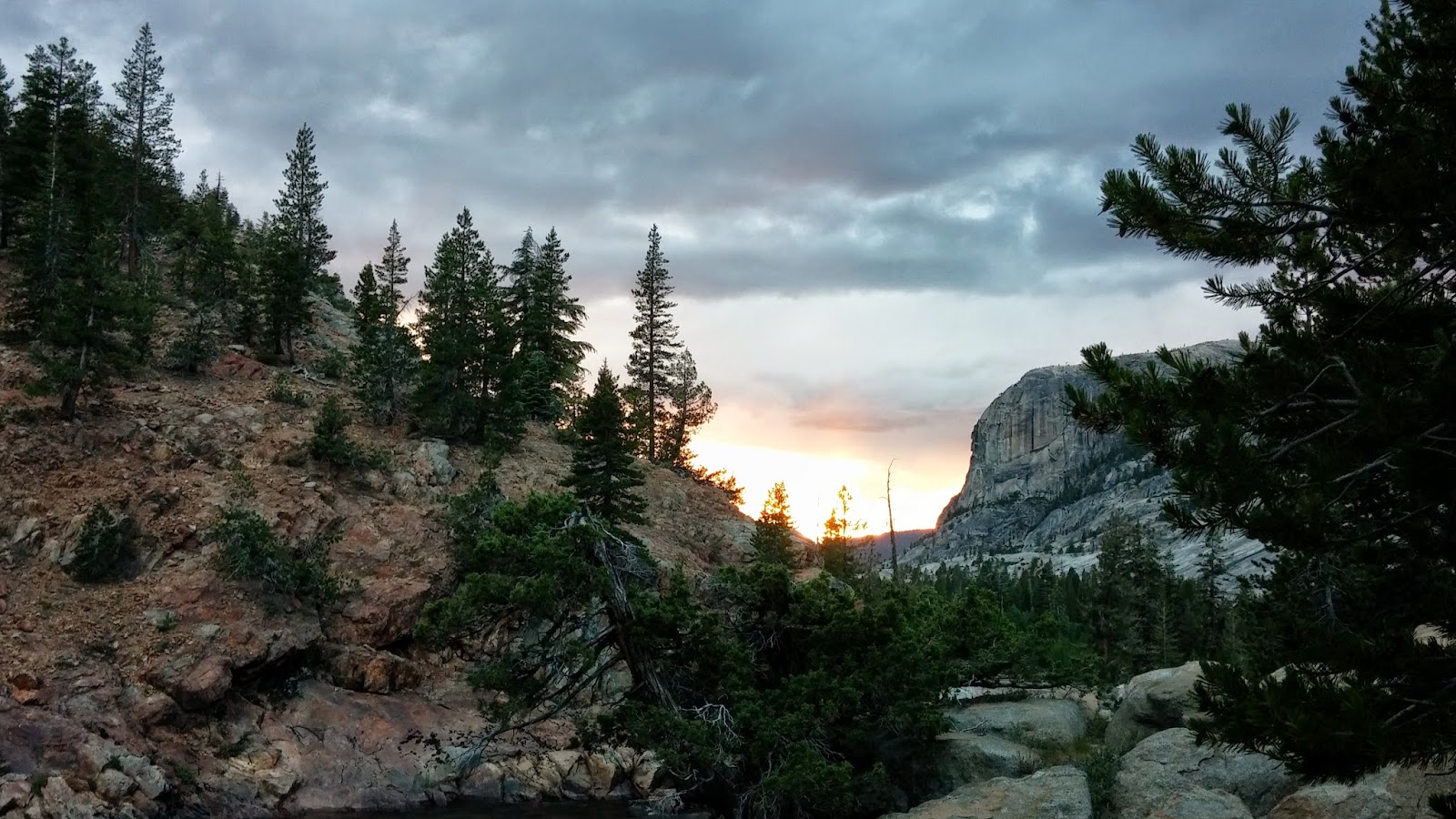
This was in the Carson Iceberg Wilderness area on July 18 after the hail & rain storm  

On July 20th two days before coming over Carson Pass in the Mokelumne Wilderness, I was caught in a six hour hail/rain and lightning storm. Fearing hypothermia from being soaked to the bones and seeing the trail ahead fill up with the rain run off...was indeed my scariest trail moments.
This is the site I quickly had to select to put up my tent so I could change into dry clothes. The temps were in the low 50s
Here I am using my 50 feet of "Bear rope" for a clothesline
The floor of the tent was a pond but no water was leaking from the top/roof. It just streamed down the sides. Thank goodness I have the blow up type of air mattress. It kept my sleeping bag above the inside puddle level!
 
Took about one hour to dry all my gear
 

Now after 3 zero days I am at Echo Lake and heading north on the PCT. Thus in 1/2 mile I will be in the Desolation Wilderness and back to walking all day. I am ready! Next stop for phone service in about 5 days in Soda Springs. CA.  Love to all!


Sonora Pass


July 5, 2014

Early morning start (6:30) to get to the Tuolumne Meadows Post office before they closed at noon. Frost was on my tent as I broke camp that morning!

 My first view of Cathedral that Josh climbed over 15 years ago!


Tuolumne Meadows is 55 miles by road to Half Dome and the other much visited sights/areas of Yosemite National Park.
I camped here on the night of July 7th. These falls are near one of the High Sierra Camps. (Canvas tent camps where your gear is packed in on mules and meals provided.) In the morning of the 8th (Irene's birthday) I reflected in my journal on the inspirational setting and wondered if I could ever return with family here. Definitely one of my loneliness Trail moments...
 
Pack mules coming into Glen Aulin
Sierra Camp and Sky Views


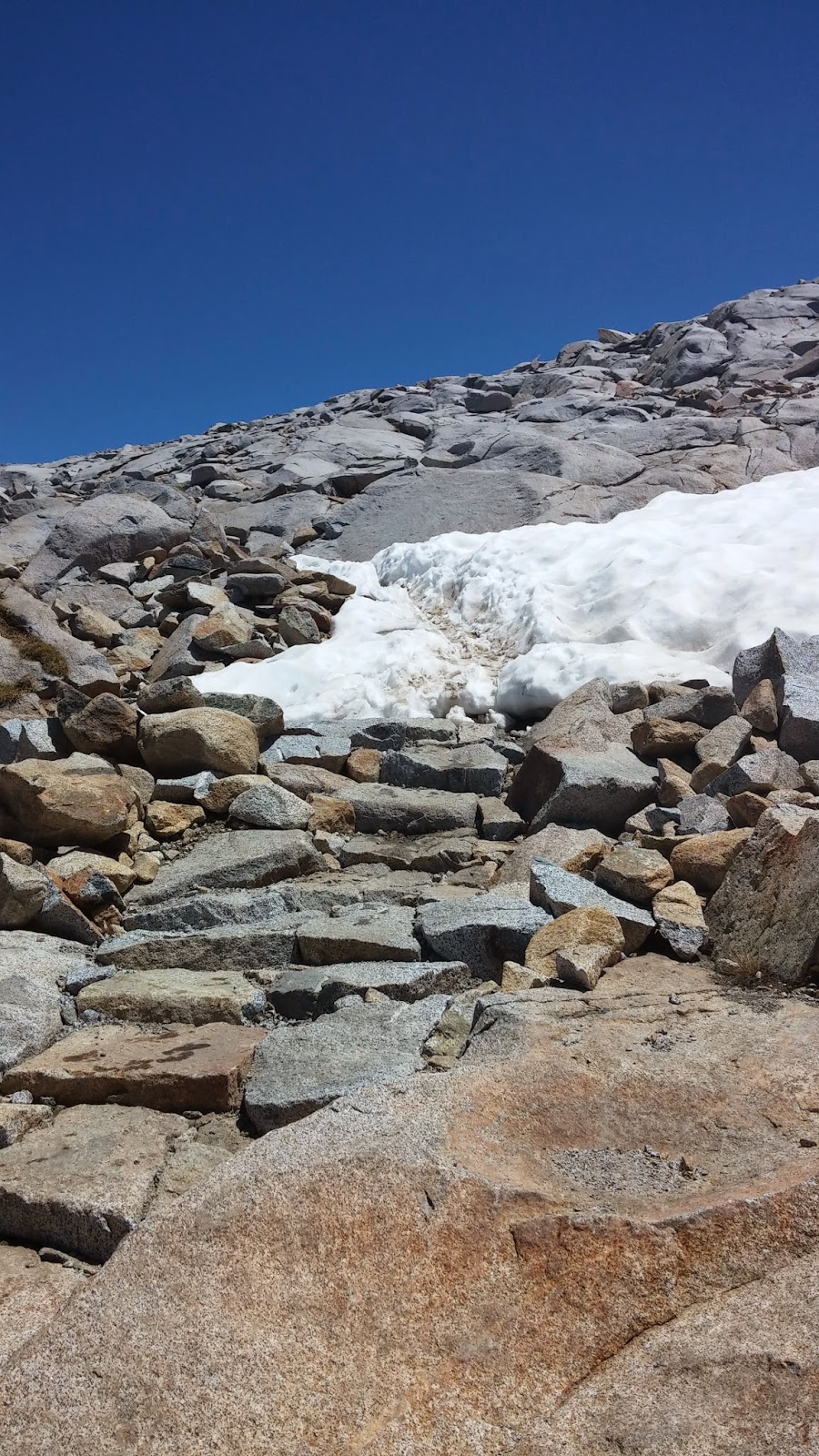
Starting the rock scramble ascent over Donohue Pass

 This was the hardest descent! Thank God for water proof boots and trekking poles!

This was the reward at the bottom of Donohue where I readied myself for the final hike into Yosemite
 

Saturday, July 26, 2014

Miller Lake on John Muir Trail
  1000 Island Lake


                           View leaving John Muir Trail
Greetings from lake side of South Lake Tahoe CA!  In the Native American Washoe language, the word Tahoe means" big water". It is the largest of all Sierra Nevada's lakes (71 miles circumference) and is the 10th deepest lake in the world! (2nd deepest in the U.S.) The PCT winds high above it's western shore, so I will probably have great views of this massive blue lake when I get back on trail tomorrow. I have been in town for a few days now prepping for the next two sections. I am now past the 1,000mile mark of the PCT...and when I go over Donner Summit next week - I will be considered in Northern California!

Mammoth (Lakes) was the entry way town into the John Muir and Ansel Adams Wilderness. Shuttle buses are used to transport hikers into this area.
This is the type of locker system that is used in the "established" campgrounds of Red's Meadows and Tuolumne Meadows of Yosemite National Park


 In the Ansel Adam Wilderness about a mile off the PCT trail
Looking above the 100 foot falls.


These next set of photos were taken from June 30 and through July 4th. The John Muir Trail (JMT) and the PCT are combined trail routes most of the way in the High Sierra. However, when they separated - I followed the JMT. ( it connected again to the PCT before Tuolumne Meadows.) This I did because it was noted to be more scenic. I purchased a separate map and marked off all the lakes I passes. This lake is Garnett.